7 Sep 2026
Tracing Weather Patterns and Their Ripple Effects on Event Predictions
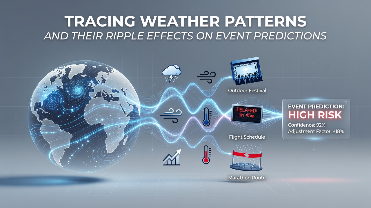 Meteorologists trace atmospheric systems across oceans and continents using satellite data, radar networks, and ground stations, and these observations feed into models that forecast conditions days or weeks ahead. Such forecasts influence decisions about scheduling and safety for outdoor gatherings, from major sports matches to public festivals, because shifts in temperature, precipitation, and wind alter participation rates, equipment performance, and venue operations. Researchers at institutions like the European Centre for Medium-Range Weather Forecasts have documented how El Niño and La Niña cycles modify jet stream positions, which in turn change rainfall distribution across continents and create cascading delays for events planned months in advance. Data from the National Oceanic and Atmospheric Administration shows that accurate tracking of tropical storm formation allows organizers to adjust timelines, and similar adjustments occur when heat waves push temperatures beyond safe thresholds for athletes or spectators. In regions where monsoon patterns dominate, forecasters combine historical records with real-time observations to predict flooding risks that can force venue changes or cancellations. Observers note that these adjustments reduce financial losses for promoters while protecting public safety, since early warnings based on pattern analysis give teams time to secure alternative indoor facilities or reschedule broadcasts.
How Pattern Recognition Improves Forecast Accuracy
Climate scientists examine recurring oscillations such as the North Atlantic Oscillation and the Madden-Julian Oscillation, and they integrate these cycles into ensemble prediction systems that generate probability ranges rather than single-point forecasts. The approach produces better guidance for event planners who must weigh the likelihood of rain against the cost of tent rentals or the risk of lightning delays during competitions. Studies conducted by Australian Bureau of Meteorology researchers demonstrate that incorporating sea-surface temperature anomalies improves rainfall forecasts for the Southern Hemisphere summer months, and those improvements translate directly into more reliable attendance projections for cricket matches and open-air concerts.
Advanced modeling also accounts for urban heat island effects, which amplify daytime temperatures in cities hosting large-scale events, and forecasters adjust their outputs accordingly so that medical teams can prepare for increased heat-related incidents. When patterns indicate persistent high-pressure systems, organizers receive alerts about elevated ozone levels that may limit outdoor exposure for vulnerable groups. Such layered information allows contingency plans to activate smoothly without last-minute scrambles.
Ripple Effects on Scheduled Activities

Weather-driven changes propagate through supply chains and staffing schedules, because heavy rain can delay equipment deliveries to remote festival sites while strong winds ground helicopters used for aerial filming of sporting events. Transportation networks experience parallel disruptions when fog reduces visibility at airports serving international teams, and these delays compound when multiple events share the same travel corridors. Analysts tracking September 2026 patterns note that projected increases in Atlantic hurricane activity may overlap with European football calendars, prompting leagues to build extra rest days into fixtures that cross time zones.
Insurance providers rely on the same meteorological datasets to set premiums for event cancellation coverage, and actuarial models incorporate long-term trends in extreme precipitation frequency. When forecasts signal elevated risk, organizers purchase additional policies or shift events to covered venues earlier in the planning cycle. Public health agencies coordinate with meteorological services to issue heat advisories that affect crowd capacity limits at stadiums, and these advisories become more precise as pattern recognition improves.
Regional Variations and Data Integration
Different geographic zones exhibit distinct weather signatures that require tailored forecasting approaches, and forecasters in Canada combine permafrost thaw data with precipitation models to assess risks for northern outdoor competitions. In contrast, Mediterranean countries integrate wildfire danger indices derived from vegetation dryness and wind speed into their event approval processes. Cross-border data sharing through networks such as the World Meteorological Organization enables consistent standards, so that a tournament spanning multiple countries receives unified guidance rather than conflicting regional alerts.
Academic papers published in journals from various universities detail how machine-learning techniques now refine traditional numerical weather prediction by learning from past forecast errors, and these refinements shorten the lead time needed for reliable event adjustments. The result appears in fewer weather-related postponements and smoother logistics for broadcasters who must reposition satellite trucks based on wind and lightning forecasts.
Conclusion
Tracing weather patterns supplies event organizers with actionable lead times that protect participants, control costs, and maintain schedule integrity across diverse climates. Continued refinement of global observation networks and modeling techniques strengthens these predictive capabilities, and the resulting ripple effects extend from individual venue operations to international transportation and insurance markets.